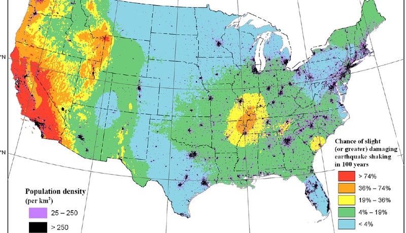
The revised Bay Area risk assessment is part of a new National Seismic Hazard Model. Map courtesy USGS
Tall buildings in San Jose and Walnut Creek are at a greater risk of earthquake damage than previously reported, according to the U.S. Geological Survey.
The Mercury News reports that USGS boosted its estimates of ground motion in Walnut Creek by as much as 25 percent and in San Jose by as much as 10 percent, with San Jose facing significantly graver danger due to its relative abundance of buildings with 20 stories or more.
The new assessment, based on an analysis of soils under the South Bay and the Peninsula, includes “probabilistic maps” that look out 10,000 years, the Merc reports. The changes were announced at the annual meeting of the American Geophysical Union in San Francisco, which took place Dec. 9-13, and marked the organization’s centennial.
Read “USGS releases new earthquake risk map; San Jose and Walnut Creek take note” in the Mercury News.
Find the update of the US National Seismic Hazard Model here.